In today’s era of technological advancement, agriculture is no longer limited to traditional practices. The integration of high-tech tools like remote sensing has transformed orchard management, helping farmers and agronomists monitor, evaluate, and optimize fruit production like never before. Remote sensing allows for the collection of data without direct contact, making it an invaluable resource in managing large-scale orchards efficiently and sustainably.
This article explores how remote sensing works, its types, benefits in orchard management, real-world applications, and future prospects.
What is Remote Sensing?
Remote sensing refers to the process of collecting data about an object or area from a distance, typically using satellites, drones, or aircraft. These platforms are equipped with sensors that detect and measure reflected or emitted electromagnetic radiation, enabling users to analyze various aspects of the Earth’s surface.
In orchard management, remote sensing plays a pivotal role in observing plant health, soil moisture, disease outbreaks, water stress, nutrient deficiencies, and more—without ever setting foot on the ground.
Types of Remote Sensing Technologies Used in Orchards
- Satellite-Based Remote Sensing
- Provides broad coverage and historical data.
- Used for seasonal or yearly trend analysis.
- Suitable for large orchards or regional-level monitoring.
- Drone (UAV)-Based Remote Sensing
- Offers high-resolution, real-time imagery.
- Excellent for smaller orchards or targeted problem areas.
- Affordable and flexible for frequent use.
- Aircraft-Based Remote Sensing
- Used for intermediate-scale monitoring.
- Costlier than drones but with higher payload capacity.
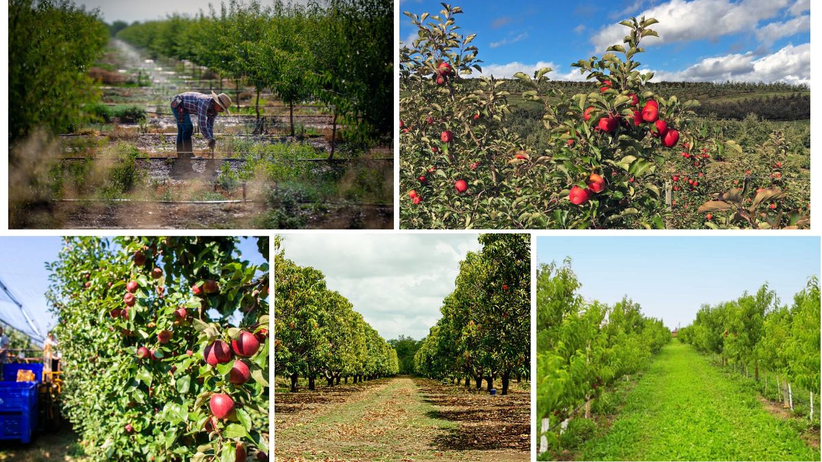
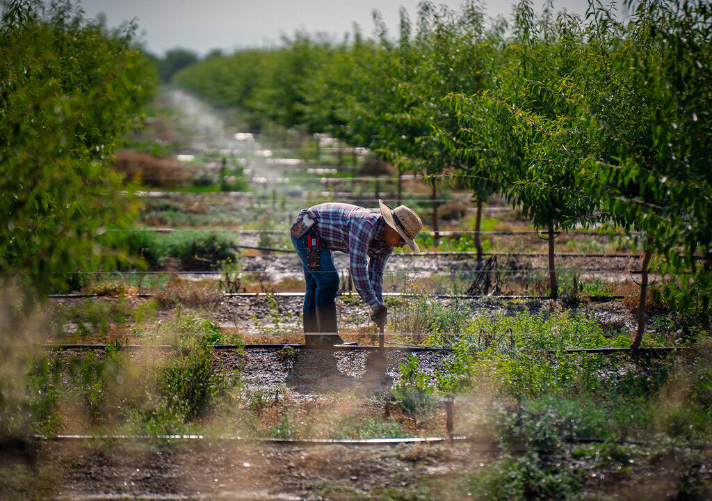
- Ground-Based Sensors (Proximal Sensing)
- Deployed within the orchard to gather localized data.
- Often used in combination with aerial methods for validation.
Key Parameters Measured Through Remote Sensing
- Normalized Difference Vegetation Index (NDVI)
- NDVI assesses vegetation health by measuring light reflectance in the red and near-infrared spectrum.
- Helps detect disease, drought stress, or nutrient deficiencies early.
- Canopy Temperature and Thermal Imaging
- Monitors plant water stress and irrigation needs.
- Identifies areas of over- or under-watering.
- Leaf Area Index (LAI)
- Measures leaf coverage, aiding in growth monitoring and yield prediction.
- Soil Moisture and Structure
- Uses microwave sensors to assess soil moisture and compaction.
- Critical for optimizing irrigation strategies.
- Topography and Drainage Patterns
- LIDAR and multispectral imaging help understand slope, elevation, and water flow.
- Aids in better orchard layout and erosion control.
Benefits of Remote Sensing in Orchard Management
1. Early Detection of Stress and Disease
Remote sensing allows for timely identification of stress factors—be it pests, disease, or water shortage—well before symptoms become visible to the naked eye. This early detection saves crops, time, and money.
2. Improved Resource Management
By monitoring soil moisture, canopy health, and other indicators, orchard managers can fine-tune irrigation, fertilization, and pesticide applications. This leads to precision agriculture, reducing input costs and environmental impact.
3. Yield Prediction and Planning
Analyzing imagery over time provides insights into plant development and expected fruit yields. This information is essential for market planning, labor management, and logistics.
4. Monitoring Orchard Uniformity
Large orchards often face inconsistent growth patterns due to varying soil quality, shade, and other micro-conditions. Remote sensing highlights these discrepancies so corrective measures can be taken.
5. Historical Data and Trend Analysis
Satellites and archived drone imagery enable orchard managers to track changes over seasons and years, offering valuable information for long-term decision-making.
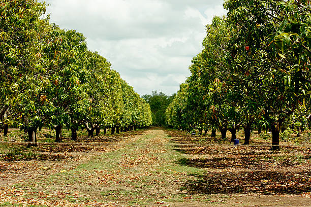
Real-World Applications in Fruit Orchards
1. Apple Orchards in the USA
Apple growers in Washington State use NDVI and hyperspectral data to optimize harvest timing. By detecting ripeness and potential disease pockets early, they minimize waste and maximize quality.
2. Mango Orchards in India
In Maharashtra and Andhra Pradesh, drones are increasingly used for monitoring flowering stages, pest infestations, and irrigation needs. This has improved mango yield quality and consistency across export batches.
3. Citrus Groves in Spain
Thermal imaging combined with soil moisture sensors helps citrus growers regulate water use, which is critical in water-scarce regions. This sustainable approach has also enhanced fruit size and flavor.
Challenges in Adopting Remote Sensing
While remote sensing holds immense promise, it does face some hurdles:
- High Initial Investment
Satellite imagery subscriptions and drone setups can be expensive for small-scale farmers. - Data Interpretation Skills
Specialized knowledge is required to analyze sensor outputs and convert them into actionable insights. - Internet and Infrastructure
In rural areas, weak connectivity or lack of trained personnel can slow down implementation. - Weather Limitations
Cloud cover may affect image clarity, especially in satellite-based systems.
Future of Remote Sensing in Orchard Management

1. AI and Machine Learning Integration
The combination of AI with remote sensing will automate the detection of stress symptoms, predict disease outbreaks, and recommend precise interventions in real-time.
2. Real-Time Alerts for Farmers
Connected sensors and mobile apps will soon provide live updates on orchard health, enabling instant decisions from the field or even remotely.
3. Blockchain-Integrated Crop Monitoring
Remote sensing data linked to blockchain systems can provide traceability for exported fruits, assuring buyers of sustainable and well-managed produce.

4. Micro-Satellite Constellations
With the rise of companies launching low-cost, high-resolution satellites, near-daily orchard monitoring will become more accessible and affordable.
How to Get Started: A Step-by-Step Guide
- Assess Your Orchard Size and Budget
- Small orchards may benefit from drones.
- Large orchards can explore satellite-based services.
- Choose the Right Sensors
- Multispectral for plant health.
- Thermal for water stress.
- LIDAR for elevation and layout planning.
- Use Farm Management Software
- Platforms like Cropio, Climate FieldView, or AgLeader help interpret and visualize remote sensing data.
- Train or Hire Experts
- Remote sensing specialists or agritech consultants can bridge the knowledge gap for beginners.
- Start with a Pilot Area
- Test the system on a section of the orchard, evaluate results, and then scale up.
Conclusion
Remote sensing is redefining orchard management by making fruit farming more efficient, sustainable, and data-driven. From monitoring plant health to optimizing irrigation and predicting yield, this technology offers actionable insights that can transform traditional farming practices. As equipment becomes more affordable and software smarter, even small orchard owners will be able to harness the power of remote sensing to thrive in the modern agricultural landscape.
In a future threatened by climate variability and increasing food demands, smart orchard management using remote sensing is not just an option—it’s a necessity.